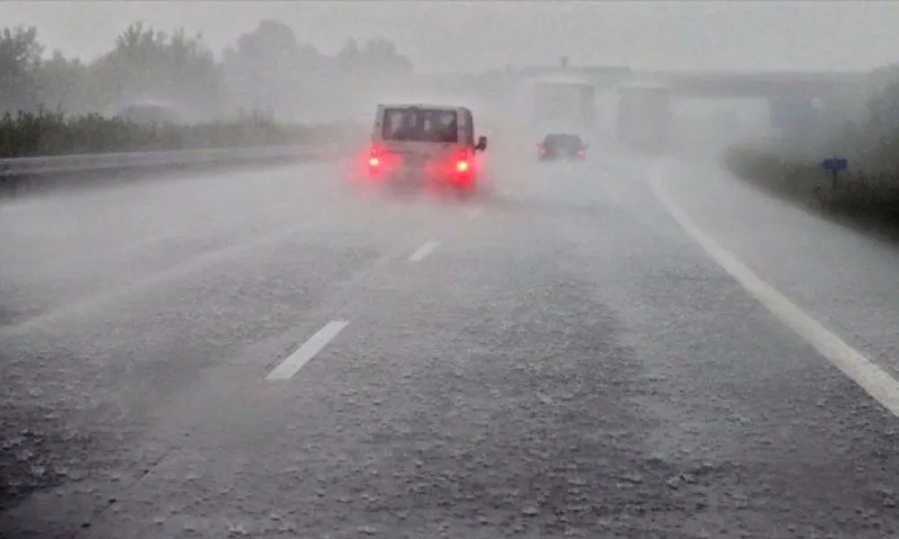
The weather turns restless again today, with the island slipping into another round of instability. Clouds thicken through the afternoon, building into local downpours and thunderstorms—especially over the mountains and the south. In some of these cells, hail is not out of the question. Winds strengthen in places, the sea stays a little choppy and temperatures hover in winter mode before dipping further tonight, raising the likelihood of frost on the highest peaks.
From Friday, however, the atmosphere begins to settle, setting the stage for a mostly fair and much more predictable weekend.
The outlook
A low-pressure system is once again steering the weather.
This afternoon, expect skies to darken and isolated storms to break out in different parts of the island. The mountains and southern districts are the most likely hotspots.
Winds shift gradually from north-northwest to northeast and southeast, picking up to moderate levels and occasionally stronger along the windward coastlines.
Temperatures peak around 16°C inland, 18°C on the coasts, and 8°C in the higher mountains.
Tonight, partly cloudy conditions take over, with winds easing slightly.
Temperatures fall sharply: 8°C inland, 12°C on the coasts, and 3°C at altitude, where pockets of frost may form by early morning.
Friday into the weekend brings a welcome change. Skies turn mostly clear—occasionally brushed with cloud—but the overall pattern stabilises.
Temperatures edge upward on Friday and then level off, hovering close to seasonal norms through Sunday.